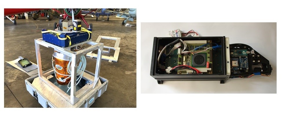
The HyTES instrument is an airborne infrared imager operating in the thermal infrared (7.5-12 μm), which was developped by NASA/JPL (Jet Propulsion Laboratory) to map emissions of gases such as CH4 and NH3. SWING is also an imager but records light in the uv-visible spectral range (300-550 nm).
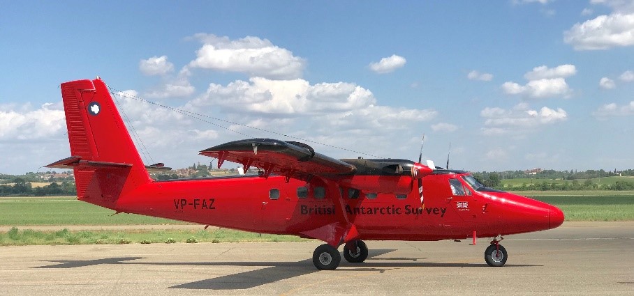
In the framework of the NASA/ESA collaboration, HYTES and SWING will be integrated on the British Antarctic Survey (BAS) Twin Otter, which will perform scientific flights over and around London (UK), Barcelona (Spain), and Rotterdam (The Netherlands).
King’s College coordinates this campaign, which will take place in summer 2021. SWING will reveal maps of NO2 VCDs for the validation of TROPOMI/S-5p while HyTES will detect NH3 emissions due to farming and other sources. These joined measurements will shed light on the nitrogen cycle and will be useful to prepare future space missions. 
The HYTES (left) and SWING (right) instruments.

The BAS Twin Otter.
Contact
For more information, please contact: This email address is being protected from spambots. You need JavaScript enabled to view it. or This email address is being protected from spambots. You need JavaScript enabled to view it..
Publications
Hulley, G. C., Duren, R. M., Hopkins, F. M., Hook, S. J., Vance, N., Guillevic, P., Johnson, W. R., Eng, B. T., Mihaly, J. M., Jovanovic, V. M., Chazanoff, S. L., Staniszewski, Z. K., Kuai, L., Worden, J., Frankenberg, C., Rivera, G., Aubrey, A. D., Miller, C. E., Malakar, N. K., Sánchez Tomás, J. M., and Holmes, K. T.: High spatial resolution imaging of methane and other trace gases with the airborne Hyperspectral Thermal Emission Spectrometer (HyTES), Atmos. Meas. Tech., 9, 2393–2408, https://doi.org/10.5194/amt-9-2393-2016, 2016.
Merlaud, A., Tack, F., Constantin, D., Georgescu, L., Maes, J., Fayt, C., Mingireanu, F., Schuettemeyer, D., Meier, A. C., Schönardt, A., Ruhtz, T., Bellegante, L., Nicolae, D., Den Hoed, M., Allaart, M., and Van Roozendael, M.: The Small Whiskbroom Imager for atmospheric compositioN monitorinG (SWING) and its operations from an unmanned aerial vehicle (UAV) during the AROMAT campaign, Atmos. Meas. Tech., 11, 551–567, https://doi.org/10.5194/amt-11-551-2018, 2018.


